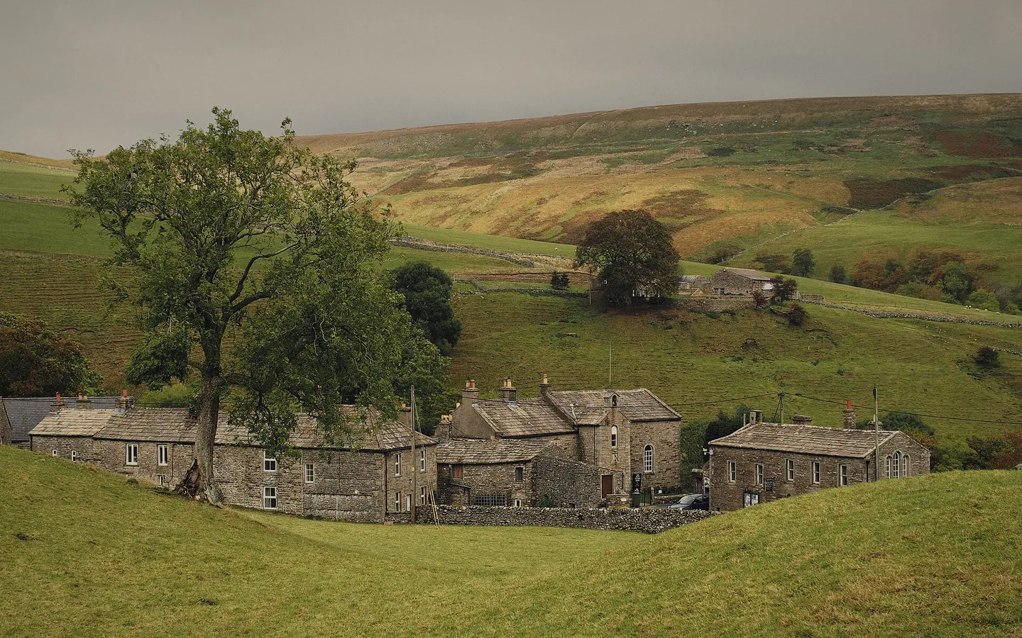
Keld
The name comes from the Old Norse for a spring. The Countryside and Heritage Centre, in the old stables, is open all year.
What is there to do?
Keld, a mile down the road, is where the Pennine Way and the Coast to Coast cross.
Pick one to see its route.
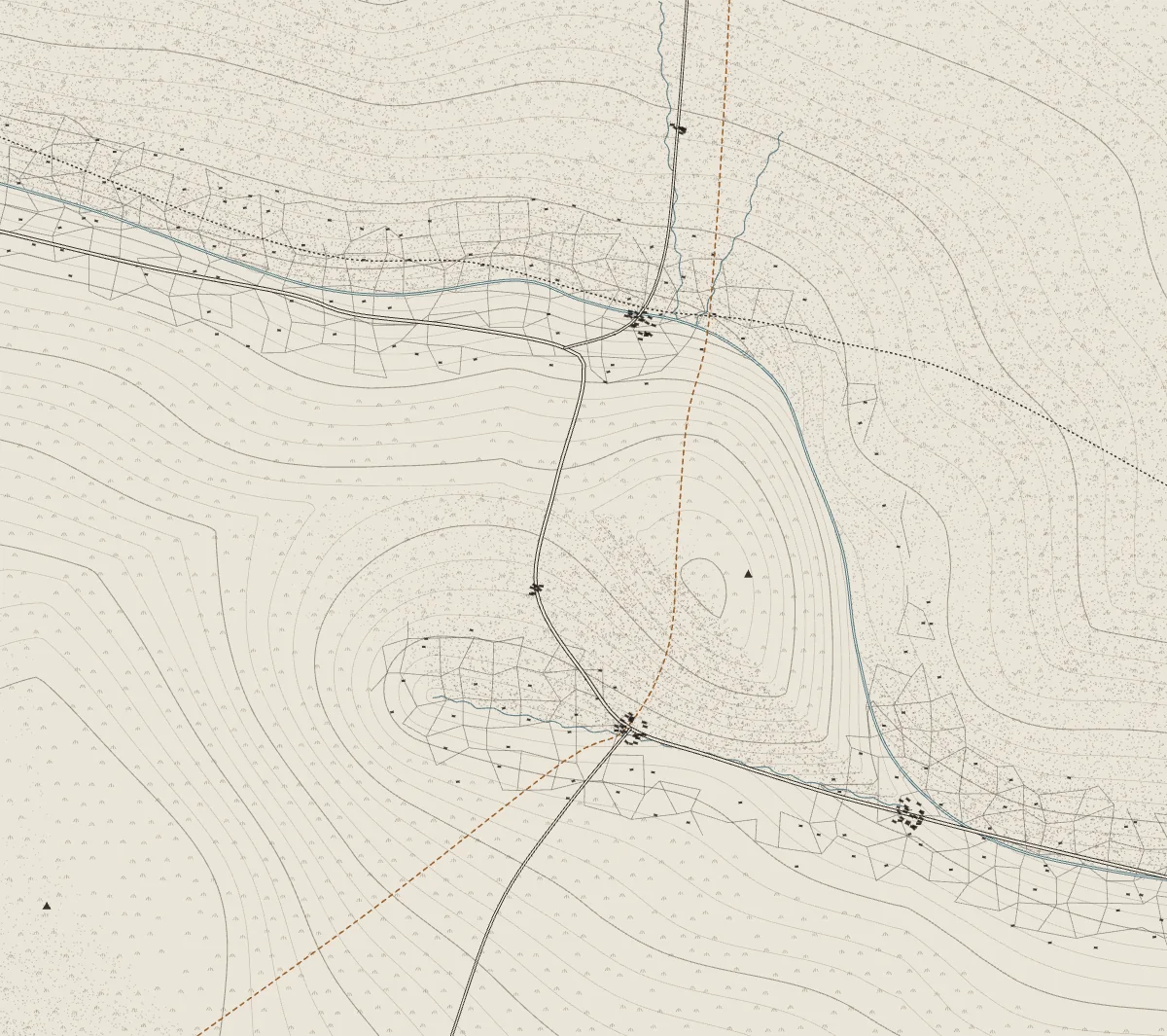
Pennine Way Coast to Coast The walk you picked
And for a rainy day?
The name comes from the Old Norse for a spring. The Countryside and Heritage Centre, in the old stables, is open all year.
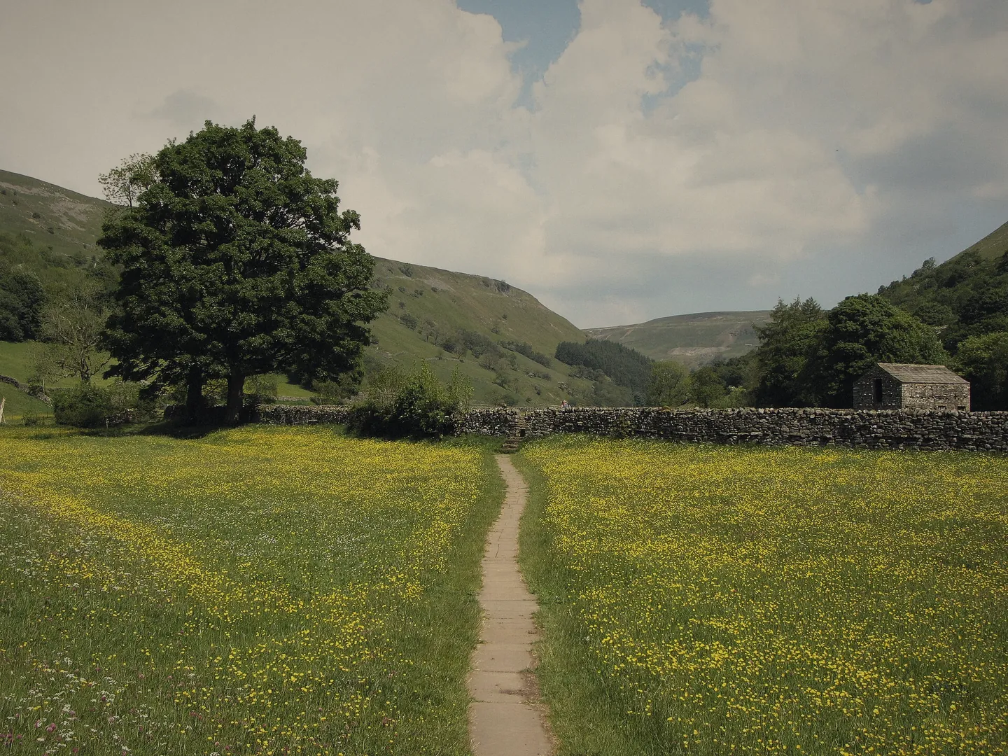
Thwaite is where Richard and Cherry Kearton, two of the first wildlife photographers, were born. Muker has a church from 1580 and a silver band that started in 1897.
A 20 km mountain-bike trail runs from Reeth up the dale to Keld. In May and June the Swaledale Festival puts on music and guided walks.
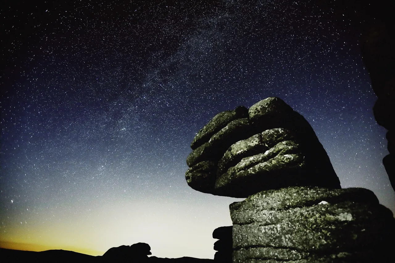
How dark does it get?
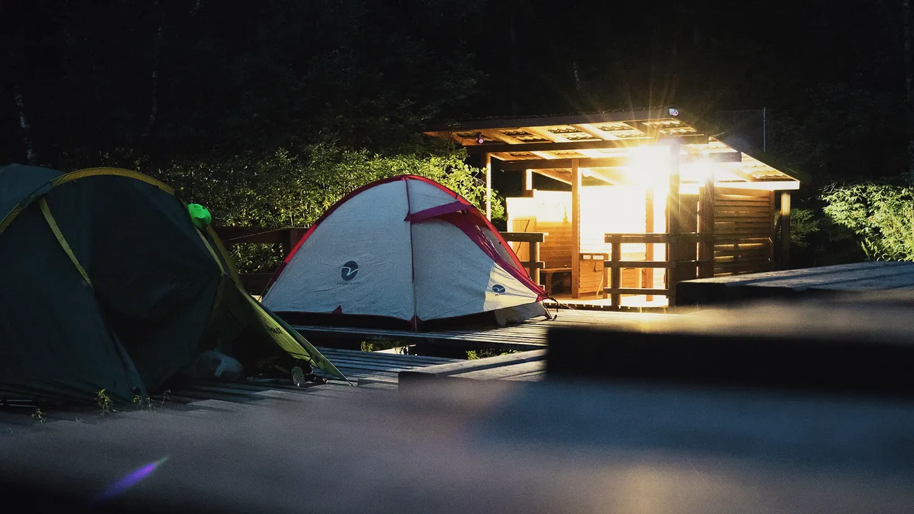
The Yorkshire Dales National Park was named an International Dark Sky Reserve in 2020. On a clear night in September, switch off your torch in the middle of the meadow and give your eyes ten minutes.
How do we get there?
By car, by train to Kirkby Stephen, or on foot off the long-distance paths.